First of all, if you don't know where to hike, go to the Vaduz city center and buy a hiking map from tourist information center (costs 22,50fr but definitely worth the price). This map has all the main hiking routes and altitudes in it which helps a lot in plannig a hike depending on how demanding it should be and how long time it should take.
Most of the hiking routes are closed in the winter months but usually they are fixed and prepared again for hiking at the beginning of every spring. However, there may be some parts where you have to pay extra-attention but, luckily, the most difficult parts usually have a rope, where you can grab, next to them, or a wooden ladder is built there to make it easier to pass these spots. (You can see even grandmum's passing by you in the hiking routes so anyone, who is not retired yet, should be able to hike these routes as well, just remember to be careful and not to run around like a headless chicken.) All the hiking routes are marked with red-white stripes and signs with the names of different peaks to make it easier to follow the desired route.
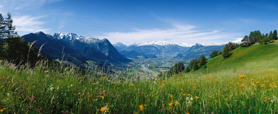
An example of a good hiking route for beginners is to start from Gaflei (where the info point is in the picture below) and then to follow along the green-red path (going higher in the picture), turn right and come back along the red path in the picture. It takes around 2-3 hours and on the way you can enjoy the spectacular views over Liechtenstein and Switzerland. To ge to Gaflei you can either take a bus or drive with your own car. First you have to drive up to Triesen from Vaduz and then continue to the direction of Gaflei.
If you want to do a bit longer hike, you can follow the green-red path all the way to Planken. This means that you start from Gaflei and go all the way up to 2100 meters and then hike down to Planken to 500 meters altitude. It takes between 4-8 hours depending on how fast you hike. There are regular bus connections both to Gaflei and Planken but the buses do not go more than once in an hour and not the whole day so check the timetable before leaving.
Minimum equipment for hiking:
-Proper shoes (sneakers should be okay in case you don't have hiking shoes)
-Enough water
-Warm and breathable clothes (it may be a lot colder up on the mountains than in the valley)
-Map
-Snacks or something to eat to make sure you don't run out of energy
Wish everyone enjoyable hiking time!
